
Walk a Sedgwick County Street
A street directory search works best as a chain. Start with the exact address as printed on a bill, deed, directory page, or map. Current county systems can identify a tax parcel and record owner. Historical publications can show who was listed there in one edition. Those findings describe different roles, so attach the source and date to every name.
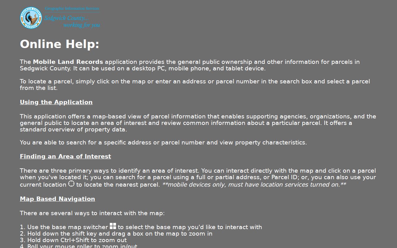
- Enter the full or partial address in Mobile Land Records. Confirm the mapped point, PIN, AIN, GeoCode, site address, ZIP, and legal description.
- Run the same address in the property-tax and appraisal search. Compare the site address with the owner mailing field.
- Use the owner name and legal description in the Register of Deeds system. Read grantor and grantee as transaction roles.
- Use VoterView only for an individual whose name and birth date are known. Its address route supplies polling information, not a block roster.
- For an earlier household, search Wichita and suburban criss-cross collections by edition and printed street form.
This order ties a modern parcel to its source before names enter the search. If a web image or year is missing, continue through the office computer, index book, microfilm, library, or written request. A blank result is not proof.
Sedgwick Street Search Fields
The Appraiser and GIS tools accept several keys. A house number is useful for a known site. Identifier and legal-description routes help when rural property, a new site address, or a changed street name defeats text matching. County help advises omitting punctuation and trying a partial address or intersection.
| Search choice | Input | Best use | Limit |
|---|---|---|---|
| Address | Number, direction, street, city | One known site | Suffix or city may block a match |
| Address Only | Street line | Alternate format | May return several sites |
| Address Range | Low-high number | Street segment | Not an occupant list |
| PIN, AIN, GeoCode | Complete identifier | Known parcel | Codes are not interchangeable |
| Plat or tract | Subdivision, lot/block, township/range/section | Rural or legal search | Recorded document controls |
The map also supports subdivision, township, and lot-block inspection. Record which mode worked so another person can repeat the lookup. The county's Land Records help screen shows these controls.
Sedgwick Records Arranged by Address
No single Sedgwick County street directory contains every owner, occupant, event, and historic listing. These sets join through an address, parcel key, legal description, or dated name, but their meanings remain separate.
| Address record | Keeper | Street evidence | Access |
|---|---|---|---|
| Appraisal and tax card | Appraiser and Treasurer | Site, owner, mailing field, parcel codes | Free portal |
| Parcel map | County GIS | Geometry, nearby parcels, layers | Free map and CSV |
| Deed or instrument | Register of Deeds | Parties, date, legal description, image | Paid remote or free office computer |
| Plat | GIS, Clerk, ROD | Subdivision, lot, block, filing | Map and recorded record |
| Permit | MABCD | Project, holder, address, action | Report, office, or KORA |
| Historical directory | MHGS, WPL, archives | Printed person, business, number | Digital, shelf, microfilm |
A parcel owner may receive mail elsewhere. A grantee may never have occupied the site. A permit holder may be a contractor. A directory records one edition. The sound by-address conclusion names each role.
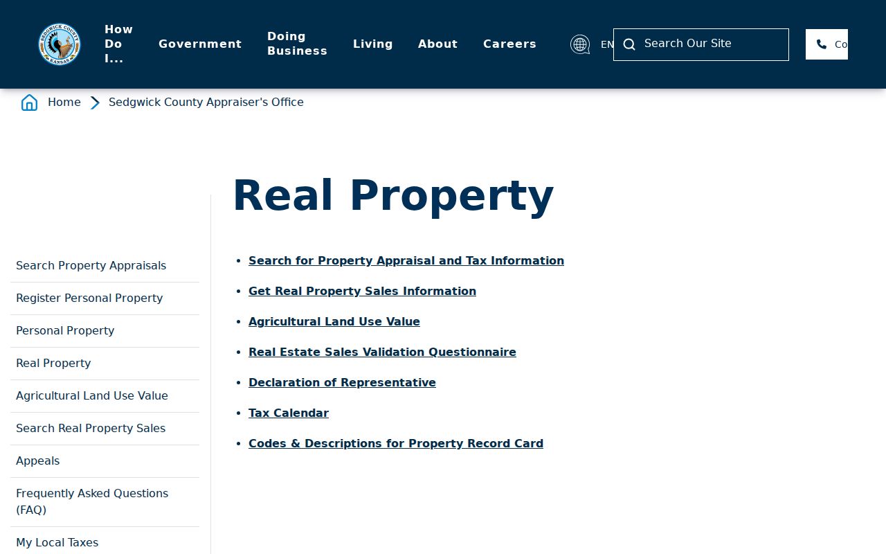
Review the real-property page before relying on appraisal fields.
Wichita Street Directory Grid
Main Street and Douglas Avenue anchor Wichita's grid. The county guide says Wichita, Bel Aire, Park City, and unincorporated Sedgwick County share the broad system. Wichita ordinance assigns one number per 20 feet, uses 100 numbers per block, and defines directions and odd-even sides. The responsible office still controls an official assignment.
The 1892 directory also explains Main and Douglas and prints its era's rules. Compare the old street section with a close-year Sanborn key, plat, current GIS, and the ordinance. Do not place an old house on a modern parcel from arithmetic alone.
Address roles. A situs address identifies the physical site, while a mailing address tells where correspondence is sent and may name another city.
Sedgwick Streets with Two Names
Wichita over-names portions of streets to honor local people and history. Air Capital Boulevard appears over part of George Washington Boulevard. Tony Bove Avenue appears over part of West Pine, and Sol Kohn appears over East Rockhill Lane. An honorary sign does not always replace the legal name used by GIS, deeds, USPS, courts, or voter records.
Search both forms and keep the limits of the honorary segment. A city council document can establish the adopted name and date. Parcel and postal systems show which form they accept. This local quirk explains why a sound street directory query may return nothing.
Keep a small conversion note for each search. Write the name as seen on the sign, the underlying legal street, the start and end points of the over-named segment, the council source, and the date checked. Then run each spelling in the parcel map, appraisal search, deed index, permit report, directory street section, and USPS tool. Results may differ because each custodian built its index for a different purpose. A successful postal form does not amend a deed, and a council honor does not by itself change a tax address. This side-by-side method protects the original evidence while showing why two valid-looking street forms can describe the same Wichita segment.
Rural Sedgwick Address Routes
A road address may be new, incomplete, or absent from an older instrument. Switch to township, range, section, quarter section, subdivision, lot, block, and plat. Mobile Land Records exposes these routes, and the deed index accepts tract and subdivision criteria.
GIS parcel lines serve tax work and are described as generally accurate within about three feet countywide, but they are not survey-grade. Layers for plats, easements, zoning, floodplain, roads, site addresses, and cities add context. Use the recorded instrument or a licensed surveyor for a boundary issue.
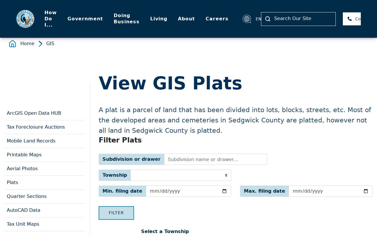
The county's plat search information shows the route beyond a house number.
Deed Chains Along Sedgwick Streets
The Register of Deeds reports deeds online from 1945 and other instruments from 1969. Tapestry accepts party, document, date, subdivision, lot and block, parcel, tract, quarter section, book and page criteria. The county recommends one criterion and says PIN is not the best first search. Remote searches cost $8.75. Office computers are free, and printed images cost $1 per page.
Older work uses more than the portal. Ask the Clerk for the last transfer date and names, then consult grantor-grantee books and request the microfilm page. Pre-April 1988 books can be handwritten or typed. Laredo serves subscription research, while the Ruffin Building remains the in-person fallback.
The deed index can also return mortgages, releases, easements, liens, plats, powers of attorney, fixture filings, and other instruments. Do not treat each result as a sale. Read the document type, party role, recording date, and legal description before placing it in a street history. A mortgage may connect a borrower to a property transaction without proving residence. An easement can affect the parcel without changing its owner. A sheriff deed has a different event behind it than an ordinary purchase deed. When the legal description differs, stop the chain and resolve the lot, block, subdivision, or tract before moving to the next name.
A regular deed copy costs $1 per page, and the county lists a $13 certification charge. Certification confirms the copy as an official reproduction; it does not settle title or prove that a party occupied the property. Some images available at the Ruffin Building are not available online. Record the search date, system used, document number, page count, and whether the image was inspected. The Haysville satellite provides another county access point, but current services and hours should be checked before travel.
- Parcel
- A mapped tax and assessment unit.
- Situs address
- The physical site, distinct from owner mail.
- Plat
- A recorded map of lots, blocks, or tracts.
- Criss-cross directory
- A publication ordered by street or phone number.
Sedgwick Street Permit Clues
The MABCD report searches Permit Number, Project Name, Permit Holder, issue dates, exact Street Number, direction, and Street Name. Results can show address, project, issued and expiration dates, final status, received date, and description. They add dated work to a property timeline but do not prove who lived there.
Wichita Planning has a separate applicant, address, parcel, and case route. If the report lacks an older case, contact MABCD or make a focused Kansas Open Records Act request. The complete database start year was not found, so a blank must not become “no permit.”
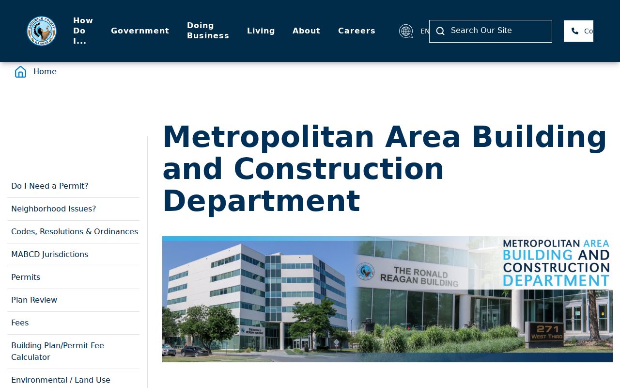
Open the MABCD page for current channels.
Historic Sedgwick Street Evidence
MHGS holds paper Wichita directories from the 1800s through 2006, suburban directories from 1957 through 1995, and criss-cross volumes from the 1930s to the present. Use the street section for a block, then the name section for occupation and residence marks. A missing name can reflect a gap, spelling, or non-subscription.
Sanborn maps add footprint, use, lots, street names, hydrants, and water lines for dated Wichita sets. Historic Preservation also points to the library, Wichita State collections, and photographs. Full shelf details belong in the Sedgwick County directory book; here they serve one dated address.
The 1892 Wichita directory gives a practical test for an old street. Copy its house number and spelling exactly. Check the volume's number-and-occupant section, then locate the same block on the 1892 Sanborn key or nearest available sheet. Compare the building use and lot with the modern parcel, while retaining any unresolved change in numbering. The directory's r mark means residence under that publisher's key. It does not prove title, and the compiler's canvass does not guarantee that every person or business appeared.
Wichita Public Library can supply reference books, microfilm, newspapers, maps, and a narrow mail or email fact check. Its digital readers can save or email JPG and PDF copies at no cost, while paper microfilm copies cost $0.25. Exact names and dates matter for the library's limited research service. A street directory search gains strength when the cited directory page, close-year map, newspaper item, and parcel conversion all point to the same place.
The Historic Preservation page links property-history sources.
Limits of Sedgwick Street Records
Public address systems do not form a household roll. Tax data identifies an owner and mailing contact. A deed identifies transaction parties. VoterView answers an individual query. Directories list people captured by one publication. Confidential files and protected substitute addresses are not shortcuts.
Use records for lawful personal research, family history, property study, and civic questions. Never reconstruct the physical address of a Safe at Home participant. Confirm current legal issues with the custodian because layers and indexes change.
Lawful use. Sedgwick County street records must not be used to stalk, harass, intimidate, or harm any person.
Note: A failed search can mean changed spelling, an old number, a cutoff, a stale layer, or an unresolved conversion.