
Sedgwick County ZIP Map Coverage
The official Sedgwick County ZIP map is dated June 24, 2026. It plots major roads, city labels, and ZIP polygons with a GIS no-warranty notice. These are map area labels, not a complete USPS delivery-point list.
| ZIP | Areas Covered | Post Office Label | Notes |
|---|---|---|---|
| 67001-67031 selected | West and north county areas | Andale through Conway Springs | Verify delivery city with USPS |
| 67037-67149 selected | South, west and north county places | Derby through Viola | Polygons can cross local lines |
| 67202-67235 selected | Wichita urban area | Wichita and dual-city labels | Not one political boundary |
| 67221 | McConnell AFB | McConnell AFB | Federal-installation label |
| 67260 | Wichita map label | Verify with USPS | Not a delivery-route inventory |
| 67543 | Haven area | Haven | County map context |
The map shows 53 distinct text labels, while the GIS layer describes about 54 polygons. Repeated labels and split shapes explain the difference. No complete ZIP+4 table or official ZIP change history was found.
Sedgwick County Dual-City ZIP Labels
Four labels on the official map make the geography issue plain. ZIPs 67204 and 67219 are marked Park City or Wichita. ZIPs 67220 and 67226 are marked Bel Aire or Wichita. Those labels do not merge the cities or settle which local government holds a record. They show that postal and political geography answer different questions.
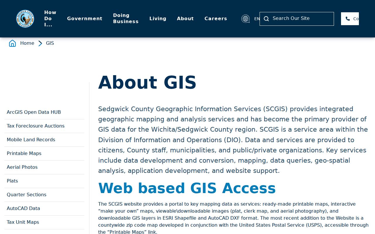
The Sedgwick County GIS program maintains mapping used across county functions and explains the county's spatial work. Its ZIP context is useful for orientation, not for proving delivery service or residence.
The county GIS page shown below identifies the mapping program behind the ZIP layer.
Pair the ZIP polygon with a city-limit layer and the parcel record whenever the custodian depends on jurisdiction.
This distinction changes where a follow-up request goes. A Wichita postal label may sit in another incorporated city or in unincorporated Sedgwick County. City permits, county parcels, voter precincts, and court venues each follow their own mapped authority. Check that authority before asking an office for a record, especially when the map prints two city names beside one ZIP.
A person search adds one more layer. A directory entry may use Wichita because that was the accepted mailing form, while the parcel sits in a different city boundary. Quote the address as printed in the source. Then add the parcel jurisdiction and current USPS result as separate fields with separate dates. That approach keeps a postal alias from becoming a false claim about local residence.
Wichita ZIP Codes and McConnell
The map uses a broad Wichita 672xx label and shows 67202, 67203, 67205 through 67218, 67223, 67227, 67228, 67230, 67232, and 67235 with Wichita context. It separately marks the four dual-city ZIP codes. This keeps the Sedgwick County ZIP code directory from pretending that every 672 address sits inside one political boundary.
ZIP 67221 is labeled McConnell AFB. That federal-installation association is a strong example of why a ZIP can describe a distinct mail geography without acting as a general resident roll. ZIP 67260 carries a Wichita map label, but the county research specifically advises confirming the delivery city with USPS.
The official county demographics page provides countywide context rather than ZIP-level proof.
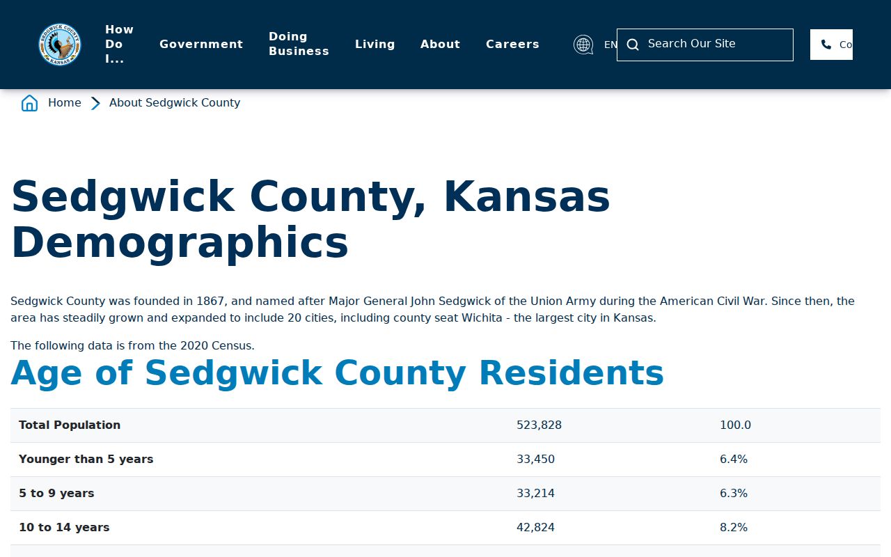
County totals should not be assigned to one ZIP unless a cited ZIP-level dataset supports that step.
McConnell also shows why institution-based mail can distort a simple residential reading. A federal base, campus, large organization, or post-office box system may use postal arrangements that do not resemble a neighborhood polygon. The county research found no complete public delivery-point inventory. Avoid estimating household counts from the number of visible ZIP labels or from countywide demographic totals.
The county demographics source can frame Sedgwick as a whole, but it does not assign every measure to the ZIP rows in this directory. ZIP-level figures from another dataset may use tabulation areas, mailing ZIPs, or survey estimates with different boundaries. Name the geography whenever presenting a statistic. If the research does not identify a matching ZIP dataset, leave the number at county scale.
Sedgwick County USPS Search Fields
The USPS ZIP Code Lookup provides three distinct routes. By Address is best for standardizing one known location. By City and State lists postal ZIP associations. Cities by ZIP returns recognized city names for one code. USPS warns that a result does not prove a person or company is present at the address.
| Lookup route | Fields | Use in the ZIP directory |
|---|---|---|
| By Address | Company, street, unit, city, state, ZIP | Check or standardize a full mailing address |
| By City and State | City and state | Find ZIP associations for a postal city |
| Cities by ZIP | ZIP code | Read recognized city names for one code |
Multiple matches can be narrowed with the street and unit. Record both the entered form and the USPS-standardized result, since the tool may alter street or city wording. That change is a postal normalization, not evidence that an older directory was wrong.
Start with the full street address when possible. A company name is optional, while street, unit, city, state, and a known ZIP help USPS distinguish similar results. If the service returns several choices, add the unit and verify the street spelling. When only a ZIP is known, the Cities by ZIP result provides postal city names but no resident list, parcel ownership, or municipal boundary determination.
USPS results may be paginated. Save the exact search inputs and recognized output instead of recording only the five-digit code. A missing unit can lead to several matches, and a standardized direction or suffix may be the key to the county parcel search. If USPS cannot confirm an old address, use a directory or historical post-office source from the relevant year before changing the wording.
Search Sedgwick County by ZIP
A ZIP code directory narrows geography, then an official record supplies the person or property role. The Appraiser searches address, address range, PIN, AIN, or GeoCode rather than a broad ZIP filter. VoterView uses identity details and an address for polling information. Neither is an open ZIP-wide household list.
- Write down the exact address and relevant date.
- Locate the county ZIP polygon and note its city label.
- Run USPS address lookup, then compare the property ZIP and owner mailing ZIP separately.
- Use the matching record custodian and preserve its record role.
Once a ZIP narrows the area, the Sedgwick County street directory handles address-level work. The Election Office voting page provides an official polling-address route.
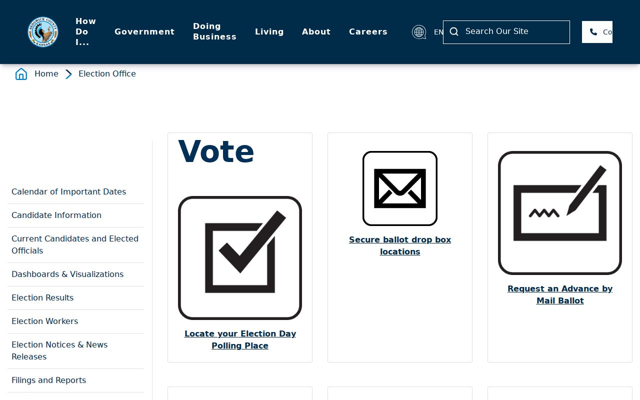
Its address search supports ballot and polling questions, not a browse of residents in one ZIP.
Sedgwick County Parcel ZIP Fields
Sedgwick County GIS exposes a property ZIP and an owner mailing ZIP as separate concepts. The first belongs to the mapped site address. The second belongs to tax correspondence and may point elsewhere. The Appraiser also displays owner and address fields, but none of them is a current-occupant field.
A ZIP code directory should preserve both values exactly as labeled. When they differ, do not choose one as the person's home. Instead, record the property role, owner role, source date, and the mailing distinction. The legal description, PIN, AIN, and GeoCode are stronger keys for joining parcel records than a shared ZIP.
ZIP is a filter. A shared ZIP is not enough to merge two people, prove occupancy, or turn a tax mailing address into a home address.
The GIS parcel popup can also show a legal description, map geometry, owner fields, values, sale information, and building details. Those facts help confirm that the right parcel was selected. They still do not identify every person at the site. For a name question, move from the exact parcel key to the record type that documents the person's role and date.
When the owner mailing ZIP differs from the property ZIP, both can be useful. The site ZIP helps group nearby parcels. The mailing ZIP can explain where tax correspondence went on the record date. Neither field should be replaced with the other, and neither says who slept at the property. Preserve blank values rather than filling them from a second database.
Historic Sedgwick County Postal Names
Modern ZIP codes should not be projected backward into records created before their use. A historical directory, Sanborn map, newspaper, or post-office listing may use an older city or street form. Search the source's original spelling first, then document the modern standardized address as a separate note.
For genealogy or an old house, pair the directory year with a map from the same period. Wichita city directories can place a named person at a numbered address, while county plats and deed legal descriptions can bridge locations outside the printed city coverage. The Sedgwick County ZIP code directory supplies modern context only after that dated evidence is clear.
Street names and numbers can change as well as postal labels. Search the alphabetical resident section and the street-address section of an old directory, then compare its abbreviation key. A Sanborn map can help place a structure, and a deed legal description can connect the lot when the street form fails. Do not add a modern ZIP to the historical citation unless the source itself prints it.
Note: Keep original postal wording in the citation, even when USPS now returns a different city or standardized street form.
Sedgwick County ZIP Boundary Limits
County ZIP polygons are approximate postal geography. They are not city limits, parcels, voting districts, school boundaries, or carrier routes. The Park City, Bel Aire, and Wichita dual labels make the mismatch clear. Use the boundary controlled by the record custodian.
- ZIP versus ZIP+4
- A five-digit ZIP is broad; ZIP+4 narrows a delivery segment.
- PO-box ZIP
- A code used for post-office boxes rather than mapped homes.
- Unique ZIP
- A code associated with one large institution.
- Carrier route
- A postal delivery path, not a county polygon.
Use the county map for area context, USPS for mailing form, GIS for parcel fields, and the right political layer for jurisdiction. If sources disagree, record each result and date rather than choosing one silently.