
Sedgwick County Neighbor Record Routes
Public records describe land, political districts, dated registrations, and old directory entries more reliably than they describe a current household. Define the unit first: an adjacent parcel shares a boundary, a street segment is a chosen run between intersections, a directory block follows a publisher's printed order, and a precinct or ZIP follows an administrative boundary.
| Local source | What it reveals about the block | How to reach it |
|---|---|---|
| Mobile Land Records | Parcel shapes, property and mailing addresses, displayed owner, values, sale year, legal description, and map layers | Free map; address, parcel, plat, or township search |
| County Appraiser | Current public parcel record and building fields for a selected address | Free address, range, PIN, AIN, or GeoCode search |
| Election maps and VoterView | District and polling geography; an individual voter's own status through the state lookup | Public maps; voter data requests have Kansas-law limits |
| Neighborhood associations | Boundaries, meetings, and contact context, not proof of membership | City neighborhood and HOA resources |
| Historical directories and Sanborn maps | People listed and buildings shown on a dated block | MHGS, WPL, KSHS, and Library of Congress |
An owner name is not a current occupant list. Mailing and property addresses may differ, renters may not appear, and one parcel can hold several units. Keep the original field label and retrieval date beside every result.
Define Your Sedgwick County Neighbors
A parcel-bounded question produces the clearest result. Choose the starting address, then decide whether the scope includes only parcels touching it, both sides of one block, or a fixed map shape. State that choice before recording public fields. The answer will differ from a ZIP, election district, or neighborhood-association boundary.
- Adjacent parcel
- Land whose mapped boundary touches the starting parcel.
- Directory block
- Addresses grouped by a historical publisher's street and number order.
- Precinct
- An election administration area, not a household or subdivision.
- ZIP polygon
- A postal geography that may cross municipal or neighborhood lines.
This boundary-first method prevents an open-ended name list and makes a block study repeatable.
Map Sedgwick County Neighboring Parcels
Sedgwick Mobile Land Records supports full or partial addresses and intersections, plus PIN, GeoCode, AIN, plat, lot-block-subdivision, and township-range-section searches. It can select parcels by a point or drawn shape and export selected rows to CSV. That export is a parcel list, not a roster of residents.
- Search the full or partial address, using abbreviated directions and no punctuation if the first form fails.
- Open the matched parcel and save its PIN, AIN, property address, legal description, and map position.
- Select only the parcels that meet the declared boundary, then inspect each popup separately.
- Compare property and owner-mailing addresses without assuming that a match proves occupancy.
- Save the access date, map extent, and unresolved fields. Use the Sedgwick County street directory when the task expands to a whole named street.
GIS popups can also display values, sale year and type, year built, building style, area, tax unit, and abbreviated legal description. Boundaries are primarily for tax use and generally accurate within about three feet, not survey-grade. Recorded instruments and a licensed survey are the stronger sources for a legal boundary dispute.
The viewer also offers identify, parcel report, tax-link, measure, draw, print, and share tools. A shape selection can gather several adjoining parcels, while point selection keeps the scope to individually chosen lots. Save the map extent and selection method with any CSV. Parcel popups may include neighborhood code, land-use class, appraised and assessed values, last-sale type, year built, units, building area, and multiple-parcel indicators. Those fields describe the tax parcel and improvements. They do not reveal every person inside a multi-unit building or show whether the displayed owner's mailing address is local.
Sedgwick Names and Addresses Online
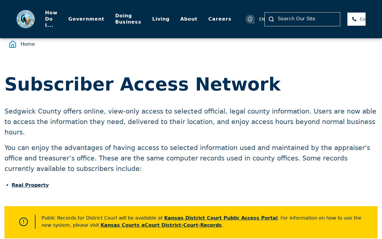
The county's Subscriber Access Network provides a name-and-address cross-reference route among county systems. It can help locate the correct public record category, but a cross-reference is not a statement that a person currently lives on the block.
The captured county page shows that local name and address access is organized as a controlled county service.
Preserve the source system, field label, date, and any account or access restriction when citing a result.
Sedgwick Neighbors Cross ZIP Lines
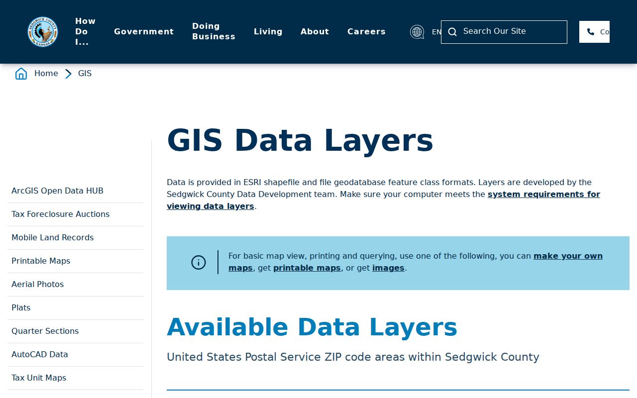
Sedgwick County has 20 cities, rural areas, and postal labels that do not always track political boundaries. The official ZIP map gives dual city associations to 67204, 67219, 67220, and 67226. A Wichita postal label may sit near Park City or Bel Aire, while GIS city, tax unit, voter district, and USPS preferred city describe different things.
The county's ZIP polygon layer makes the postal boundary available beside other GIS layers.
Store postal city, political city, site address, owner mailing city, and ZIP as separate fields. Sharing a ZIP does not make two addresses immediate neighbors.
Note: A postal boundary is useful context, but parcel geometry defines the immediate block more precisely.
Election Maps Around Sedgwick Neighbors
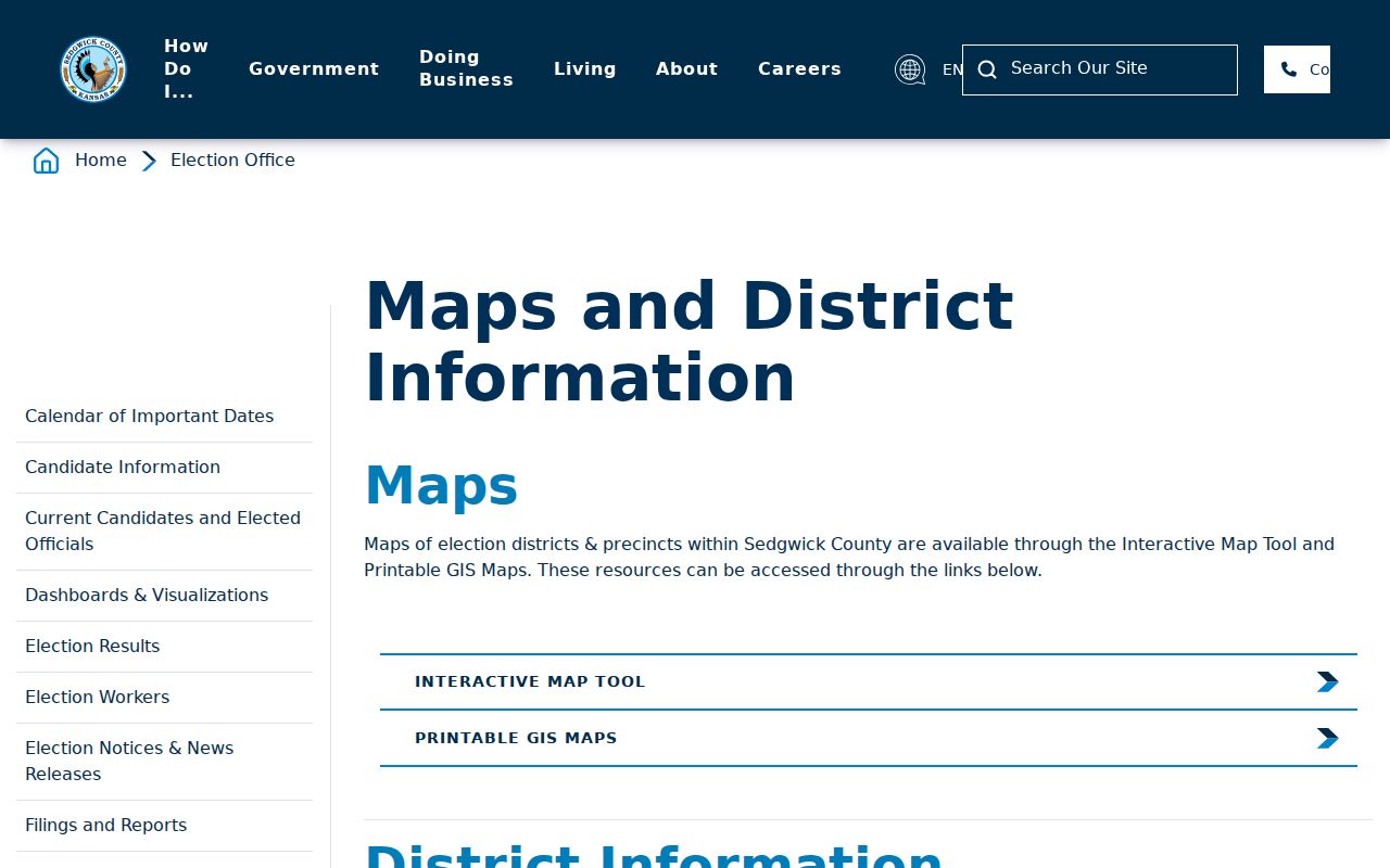
The Election Office maps cover precinct and district geography. They help explain which civic boundaries cross a block. The address-based polling and ballot route can confirm assigned election geography, while Kansas VoterView is designed for an individual to check registration, polling place, and ballot information.
The official district page shows the county map access used for block-level civic context.
Do not treat a shared precinct, commission district, school district, or polling site as proof of a shared household. Voter lists are governed by Kansas election law and declared-use rules, and protected address information must remain confidential.
The county's voter-data form separates countywide, district, and advance-voter products. The older form reports more than 250,000 countywide records, while the current form includes a ten-election history field. Those figures explain why a block question should begin with mapped geography instead of a countywide name list. Record the order date, district filter, file date, and statutory use statement. A person absent from one delivery may have moved, changed status, used a protected address, fallen outside the chosen district, or registered after the export date.
Wichita Neighborhood Boundaries Add Context
The City of Wichita publishes neighborhood program and neighborhood/homeowner association resources. These can supply a boundary, public contact, meeting, or civic issue. They do not prove that every person inside the outline belongs to the association, and the inspected sources did not reveal one comprehensive public membership directory for all of Sedgwick County.
Wichita Neighborhood Services
Neighborhood programs and map for city boundaries and civic support.
Association Directory
Neighborhood and homeowner association resource for public group contacts.
Congregation, alumni, union, chamber, and private HOA rosters must be checked organization by organization. A public meeting notice or officer contact provides community context, not a current resident roll.
Historical Sedgwick County Neighbor Blocks
For a dated “who was nearby?” question, use the address system in force at that time. The 1892 Wichita directory contains alphabetical inhabitants, a house-number and occupant section, a street section, and a key centered on Main and Douglas with 100-number squares. The book's abbreviations and printed order must stay intact.
Pair that directory block with the closest Kansas state or federal census and a Sanborn sheet. The census names a household on an enumeration date. The fire-insurance map shows building footprint and use but generally not an occupant. Newspaper, probate, cemetery, and deed records may then confirm a dated relationship without turning historical evidence into a current-person list.
MHGS holds Wichita directories from the nineteenth century through 2006, suburban Sedgwick editions from 1957 through 1995, and telephone or criss-cross books from the 1930s. Kansas state censuses for 1875, 1885, 1895, 1905, 1915, and 1925 add dated household snapshots, especially around the missing 1890 federal schedule. Wichita Sanborn editions listed by the Kansas Historical Society range from 1884 through 1968, with a 1935 set revised through 1950. Cite the exact directory edition, census date, map sheet, and printed address before comparing names.
Wichita's honorary street names add another local trap. Air Capital Boulevard overlays George Washington Boulevard, while other over-names may appear in civic records but not in a parcel or postal address. Test both forms and preserve which source used each name.
Official Sedgwick Neighbor Records Differ
Each custodian reports one relationship. Commercial people-search products often merge old addresses, phone files, and unrelated names without showing the date or source. Official records are narrower, but their field labels and custodians make errors easier to spot.
| Route | Strength | Main limit |
|---|---|---|
| County parcel and GIS | Mapped land, owner field, legal and building context | Not a census of occupants |
| Election source | Dated registration or district assignment within legal access rules | Not a complete block household list |
| Historical directory | Printed names and addresses for one edition | Publication and subscriber gaps |
| Commercial compilation | May surface a lead | Source, date, and identity merges may be unclear |
Use the narrow official record first. When two records disagree, keep both dates and roles rather than forcing a merge.
Privacy for Sedgwick County Neighbors
A parcel record may disclose an owner and mailing address, but it does not list every renter, child, guest, or household member. Utility, delivery, medical, school, and other protected personal data are not substitutes for public property evidence. Kansas Safe at Home lets eligible participants use a substitute address and mail forwarding in public-agency records, so a displayed address may be intentionally shielded.
Report only the bounded records needed for the question. Mark stale map layers, common-name conflicts, blank fields, no-result searches, and uncertain address conversions. Never publish an assembled current-person list merely because several systems can be searched separately.
Lawful use. Sedgwick County neighbor records may support civic curiosity, reconnection, and personal safety. Never use them to watch, intimidate, stalk, or harass anyone.